Stokesley to Great Ayton along the River Leven
- Jun 7, 2022
- 4 min read
There are many attractive walking routes in the middle reaches of the valley of the River Leven where the river, having shaken off its origins in the moors near Kildale, flows in a more leisurely fashion across the Cleveland Plain between Great Ayton and Stokesley.

Distance: 7 miles, 3 miles to Great Ayton
Time: 3 hours
Grade: easy
Conditions: level walking with few stiles, muddy in two or three places
Refreshments: Stokesley, Great Ayton
OS Explorer Map OL26
Originally published: 20 January 2017
It's better to start this 7 mile circular route from Stokesley as you will be walking towards the hills and the beckoning cone of Roseberry Topping. Shorter trails too are possible though if you mean to rely on buses please note there are are no Sunday services.
We start from the Renaissance-style Town Hall, (GR 525085), built in 1854 when the town was the centre of trade and administration for the surrounding villages and still had a thriving textile industry.
Cross The Plain or market place which still has a busy market on Fridays. At the far end, on the right behind elaborate gate pillars, is the imposing Manor House, built a few years earlier than the town hall to the designs of Ignatius Bonomi. On the left in College Square is the former Preston Grammar School, built in the early Gothic Revival style.
Continue along the road from the market place to a roundabout where go straight ahead across a large car park and then to the right of the Co-op supermarket. From here a path leads to the Stokesley by-pass (A 172).
Cross over on to a path which continues for a delightful, easy two miles almost to Great Ayton. In about 500 yards it reaches the River Leven at a point where the river is artificially divided. Away to the right, between high banks, is a deep channel down which flood waters are diverted. The river itself, controlled by a sluice, winds gently away over the fields of the showground before following its historic course around the southern fringes of the town.
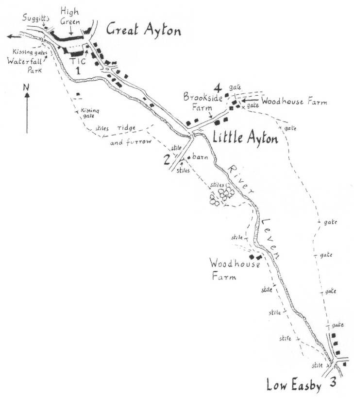
We continue upstream along the high levee and then after two fields closer to the river. There are herons and waterbirds to spot (a kingfisher if you are lucky) and of course there is always the distant view of Roseberry to aim for. At length, away from the river, the path passes in front of The Grange on the edge of Great Ayton. Turn right when you reach a tarred lane and follow it before crossing the popular Low Green next to the river.
Great Ayton is known as the boyhood home of Captain Cook. A couple of sites associated with him can be found at the end of the green. Away on the left, down the side of the Conservative Club, is the old Norman church where he must have worshipped. In the churchyard, to the east of the east window, is the gravestone of his mother and some of his siblings. In the other direction, if you cross the white footbridge and the main road and then continue ahead for 100 yards along Bridge Street you will find a monument built of stone from Point Hicks in Australia. It marks the site of the cottage of Cook's father which in 1933 was bought by the state of Victoria and reassembled brick by brick in the Fitzroy Gardens in Melbourne.
Our walk continues along High Street beyond the stone bridge and with the river on the right. The Schoolroom Museum in 300 yards, marks the site where the explorer gained his early education. The original building where Cook was a pupil was replaced by the present one in 1785.
Beyond the museum is High Green where the former Friends' School fills the far side. From here there are hourly buses to Stokesley if you wish to limit your walk to 3 miles.
The main walk however continues on the footpath across the river, signed between the museum and Suggitt's ice cream shop. Almost immediately it passes the sole surviving Victorian cast iron urinal, preserved as a reminder of the village's industrial history.
The path continues up river through two new kissing gates before skirting the cricket field. Ignore signs 'To the Riverside' and follow the path out into open country with football fields on your left. After two fields you cross the pronounced ridge and furrow of the village's Applebridge Field. Then at a fence corner go right, across an extension of the field to Cross Lane, on the edge of Little Ayton. Turn right.
In about 400 yards, at a junction, turn left and then immediately right on the tarred track to Ayton Firs. In half a mile leave this large Victorian house on your left and take to the fields on a bridleway which is well signed but little used. In 300 yards it intersects with a track from Harland Hill and after 100 yards continues across fields to a horse paddock. After crossing a drive head for the left hand corner of the roof of Prospect Farm peeping above a slight rise in the field.
Here we join the Stokesley to Kildale road and should go right to its junction in 250 yards with the A 173 (the Stokesley to Great Ayton road). Bear left along the pavement to where the flood diversion channel passes under the road.
From here there are three choices of routes. The shortest is to follow the road for just over half a mile back into Stokesley.
An alternative is to cross the road and walk along the flood channel to the first corner to rejoin our outward route.
The main walk, and the longest, is to turn left along the flood channel and follow it around for half a mile to the B 1257, the Stokesley to Helmsley road at Broughton Bridge. The channel path now changes banks so cross the road and after crossing Boughton Beck continue down the opposite bank and over the road to Stokesley industrial estate. Continue along the flood channel for another half mile to Kirby Bridge on Kirby Lane. Turn right down the lane and past the school to the B 1257 into Stokesley. Turn left and then left again along Levenside, the footpath and then lane which follows the river as it flows around the edge of the town. In 300 yards cross the river for the last time by the 17th century packhorse bridge, once the start of an ancient route south to Kirkby and Bilsdale. The cobbled path takes you back into the market place.


Comments